
Reading Mercer County Parcel Maps
The WV Property Viewer is a statewide parcel application. It blends assessment attributes with county geometry. Mercer users get address search, parcel-attribute search, geometry search, coordinate search, map identify, parcel detail, and export. County tax maps offer a second view. Pick a district and map to open a reduced image or a full-size PDF. Both sources help locate land and compare identifiers, while the recorded deed and survey settle the legal questions.
| Layer | What It Shows | Use |
|---|---|---|
| Parcel boundaries | Tax parcel geometry and identifiers | Locate a tract and see nearby parcels. |
| E-911 address / community | Physical address and community context in detail | Separate situs location from mailing address. |
| Parcel attributes | County, owner, address, full ID, district/map/parcel | Find or narrow a property. |
| Flood information | Flood-zone link or detail | Use as context and verify through an authoritative flood source. |
| External map links | Google, Bing, or OpenStreetMap context | Orient the site, not prove ownership. |
Selecting a parcel opens its assessment report. That report supplies values and owner data. A deed book and page, or the legal description, then leads to the County Clerk's record. For a single-property lookup outside the mapping steps, use the Mercer County property search, and for parcels around a subject tract, try the Mercer County neighbor lookup.
Find a Mercer County Parcel by Address
Begin at the WV Property Viewer. The street address result is just orientation. Parcel attributes and the map view carry more weight in the next lookup. Boundaries appear at about 1:18,056 or closer. When several polygons touch or overlap, use identify and select the Parcel ID that matches the assessment result.
- Search by E-911 address or choose parcel attributes if you already know the county, district, map, or owner.
- Zoom until the tax boundaries render, then identify the parcel and copy its full ID and physical address.
- Open parcel detail to read the owner, mailing address, building information, cost values, appraisal, flood-zone, and external map links.
- Use the assessment report or Assessor search for the value fields and the County Clerk for a deed or plat reference.
- Parcel number
- The assessment and map key formed from district, map, parcel, and sometimes a suffix.
- Plat
- A recorded map showing the lots and shared features in a subdivision.
- Lot and block
- A written description that identifies a platted lot by its block or plan.
- Metes and bounds
- A land description made from boundary directions, distances, and reference points.
- Easement
- A recorded right to use or cross land for a stated purpose.
What Mercer County Parcel Maps Cannot Prove
The viewer itself warns that some county assessor geometry remains paper-based. Entering it digitally may take years. A missing polygon is not proof of anything. A parcel can exist without a digital outline. Tax parcels are drawn for assessment and mapping, and no property map can show every title interest, mineral reservation, easement, or deed exception.
Not a survey. Use Mercer County parcel maps to orient a search, then compare the deed and recorded plat. For a build, fence, or boundary dispute, ask a licensed surveyor to locate the legal line.
Mercer County Viewer Search Tools
The viewer offers several distinct search routes. E-911 address search suits a known site. Parcel attributes help when the owner or map key is known, geometry selects nearby land, and coordinate search works when an address is missing or uncertain. Identify works from the map after zooming. CSV export saves a result list, while KMZ and map links preserve spatial context.
| Tool | What It Accepts | When to Use It |
|---|---|---|
| E-911 address | Physical location | Start when only a street address is known. |
| Parcel attributes | County, owner, address, ID, district/map/parcel | Find holdings or narrow a block. |
| Geometry | Spatial selection and a buffer control | Look around a selected parcel; confirm exact units in the live interface. |
| Coordinates | Latitude and longitude | Locate rural or unaddressed land. |
| Identify | Map click at parcel scale | Open a selected polygon or choose among stacked results. |
| CSV / KMZ | Search results or map context | Save a working parcel list or spatial reference. |
These controls support research, not a legal survey. External Google, Bing, and OpenStreetMap links add orientation only. The flood-zone link is a prompt to check the official flood source, not a determination about insurance or development rights.
Lettered Mercer County Map Numbers
Mercer County parcel identifiers combine several pieces. District, map, parcel, and suffix can all appear. The statewide format pads each piece when it builds an IAS-style full identifier. An Assessor result may show a lettered map such as 16V and a parcel such as 58.0. Keep those values exactly as displayed. Dropping a letter or decimal can point to a different record or fail to match the tax map. Use the readable district, map, and parcel pieces for the county map selector, then preserve the entire full ID for portals that accept one string. Statewide results begin with the Mercer code 28. If a map does not match the printed PDF, check the district first, then compare the parcel number and legal description. Never guess a prefix range.
Mercer County PDF Tax Maps and Cards
The Mercer Assessor's map page wants two things. Enter District and Map to open a reduced image or a full-size PDF. The Map Card Viewer instead wants District and Map/Parcel. Its notice is about copies. Map card copies require a visit to the Assessor's office. Read the PDF for map labels, roads, lots, acreage, and subdivision names. Request the card for details missing from the screen.
The county map and card systems complement the statewide GIS viewer. A PDF is easier to read at full scale. The statewide viewer adds address and coordinate search, parcel selection, nearby geometry, and CSV or KMZ export. Neither one is a deed index. When ownership or the legal description is the question, match district, map, and parcel to a recorded instrument.
The Mercer tax-map page provides map selection, and the Map Card Viewer provides the district and parcel controls.
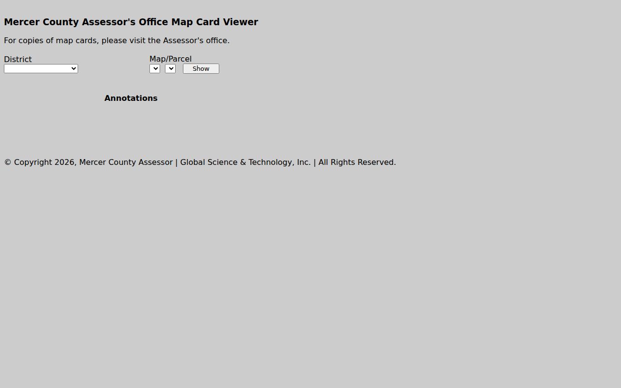
The WV Property Viewer shows the Mercer County address, parcel-attribute, geometry, coordinate, and identify tools.
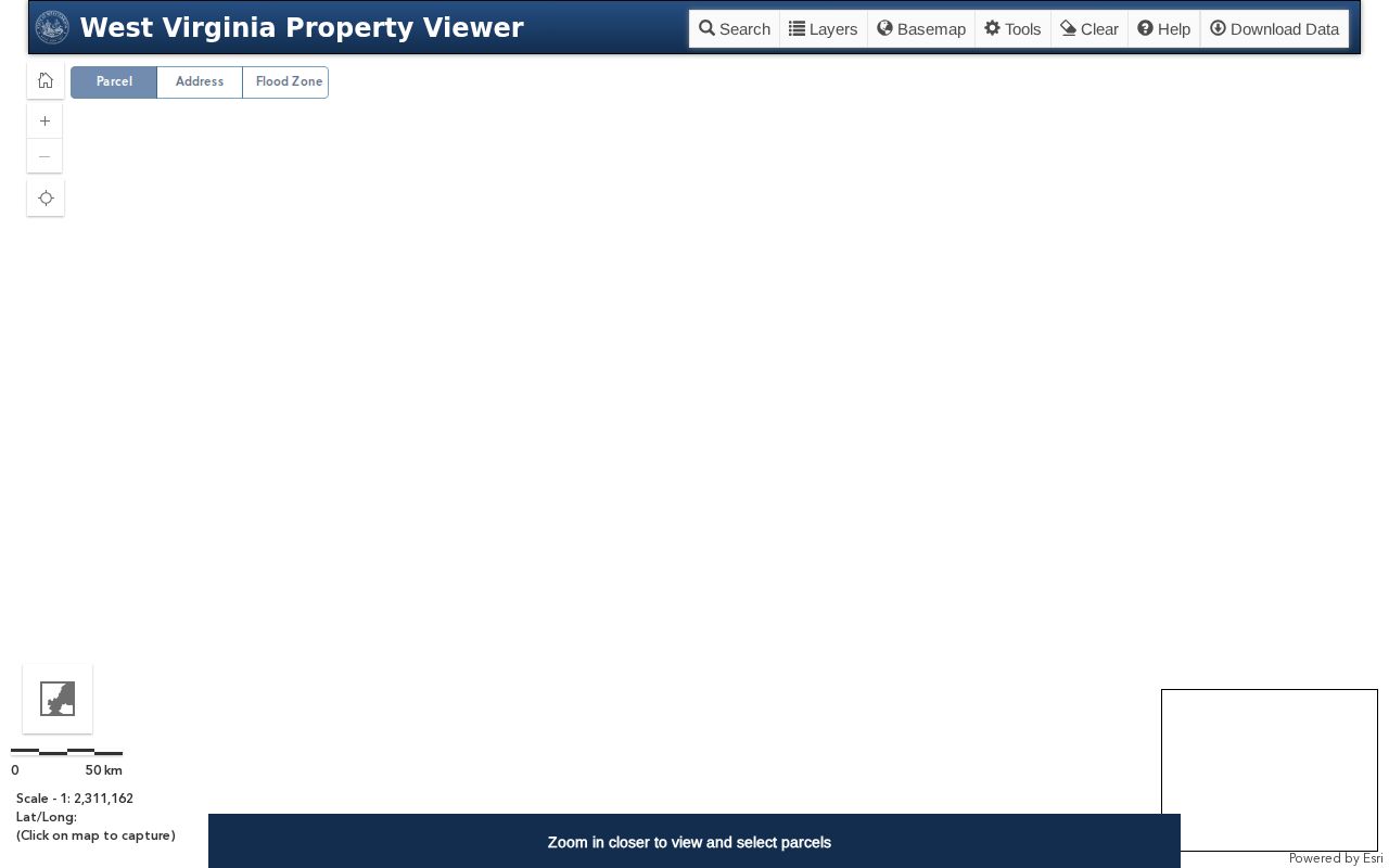
The Mercer Assessor's PDF tax-map selector lets a user choose a district and map for reduced and full-size views.
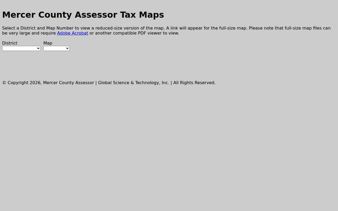
The Mercer Map Card Viewer asks for District and Map/Parcel and explains that copies require an office visit.
Plat, Tax Map, Survey in Mercer County
Three documents describe land in Mercer County, and each answers a different question. A tax map plots assessment parcels with map labels. A recorded plat fixes a subdivision or lot plan inside the public land record. A survey, done by a licensed professional, pins a boundary on the ground. The three can inform one another. Still, their evidentiary weight differs, so know which one you are holding.
The Mercer Assessor's PDF maps work well for locating a tract in a general sense. Do you need the written property references? Turn instead to the County Clerk's recorded plat and deed. One caution comes from the statewide GIS site itself. Some county geometry remains on paper, the state explains, and conversion can take years. In rough terrain, an old subdivision, or a former coal tract, a tax parcel line may run into trouble. It may be generalized or missing entirely.
Before relying on any line, gather the deed's details. Compare the calls, acreage, exceptions, map number, lot and block, easements, and right-of-way notes. If a legal line must be marked or a dispute settled, obtain a survey.
Mercer County Map Names and Old Places
Old place names linger in Mercer County land descriptions. Some tracts are tied to a vanished community, a coal camp, a company tract, a creek, or a railway corridor. Others reference a modern road number instead. The county formed in 1837 from Tazewell County, Virginia. Early descriptions may predate current state and address labels as a result. A historic plat or map can link an old owner name to today's parcel. Confirm the connection with the recorded instrument and its legal description.
The Mercer County Historical Society keeps maps and plat books. It also holds newspapers, cemetery records, family files, and other local material. Access is by appointment. Its research desk asks visitors to send the names, dates, communities, and types of record already searched. The Archives Mercer County catalog offers another lead. Treat neither collection as a current survey or an official title record.