How to Search Princeton Property Records
Ownership, value, and tax-map lines for a Princeton parcel live with the Mercer County Assessor. Deed records sit with the County Clerk. The city matters when zoning, permit, inspection, or code history is the question. Keep the physical address and the postal city separate. A street address can describe land outside the corporate line. Confirm that boundary before requesting city approvals. The county property search walks through the parcel lookup route.
- Search the Mercer Assessor by Princeton street name or known district/map/parcel and save the full identifier.
- Use the parcel map and recorded deed reference to match the county ownership record.
- Check the city zoning map and Code Enforcement route for a local land-use or permit question.
- For an older address, compare the current road name with historic district and directory clues.
A municipal approval or code file adds local-use context for a property. It is not a deed, plat, or tax assessment record.
Where Princeton Property Records Are Kept
Ownership and the tax trail stay with Mercer County. Princeton keeps the local layer. The City Clerk maintains the official zoning-map source under the municipal code. Code Enforcement fields zoning, building-safety, property-maintenance, floodplain, and demolition questions. Route each record to its custodian.
Mercer County Parcel and Deed Records
The County Assessor and Clerk hold the parcel, assessment, and recorded land trail.
Princeton Code Enforcement
800 Bee Street
Princeton, WV 24740
304-487-5020 / 304-487-5024
Princeton Property Records and Districts
Public sources name Princeton's historic and commercial areas. They offer no full subdivision roster or plat-book list. Treat the districts and landmarks below as search clues, not Assessor subdivision labels. A parcel's actual lot, block, plat, and boundary must come from Mercer County's maps and recorded instruments.
| Neighborhood / Subdivision | Era | In the Records |
|---|---|---|
| Mercer Street Grassroots / Historic areas | Current business and historic focus | City describes a commercial corridor and historic area; verify lot name in Clerk records. |
| Mercer Street Historic District | Historic district on a named street | North First Street to North Street; not an Assessor subdivision label. |
| Virginian Railway Historic District | Rail-era historic context | North of the WV 20 / railroad junction; use as a map clue. |
| Business Loop | Current city business connection | Links Mercer, Thorn, Rogers, Brick, Stafford, South Walker, and East Main streets. |
Use the street or historic-area name to find a candidate parcel. Then confirm the legal description and parcel number. The Mercer County parcel maps page describes the tax-map sources.
What Princeton Property Records Can Show
County records carry ownership and valuation. City records carry zoning and permit detail. The public sources offer no full searchable permit history, field list, coverage period, or copy fee. A zoning map is an official land-use layer, but it proves no title, surveys no line, and predicts no sale price.
Lawful use. Use property files for due diligence, zoning questions, history, and civic research. Do not use names or addresses to stalk, threaten, or harass anyone.
Princeton Property Records and Zoning Districts
Princeton's Maps & Zoning page lists eight districts. Residential comes in R-1, R-2, and R-3. C-1 and C-2 are Commercial. C-R mixes commercial with residential. O-I covers Office and Institutional, and Industrial finishes the list. The Planning Commission mapped the districts. The Zoning Board upholds them. The Zoning Official administers permits and inspections. City Council controls zoning changes by ordinance.
These labels answer a local-use question, not a title question. Note the address and parcel ID. Find the district on the city map. Ask Code Enforcement about the permit, inspection, or variance file. The city publishes no complete searchable history or full field list.
Princeton Property Records and the 1979 Map
The municipal code names the official source. It is the “City of Princeton Zoning Map 1979,” as amended. It sits in the City Clerk's office, open during regular business hours. That makes it a legal map, not a website graphic. Ask for the map itself when boundaries matter. Ask also for any later amendment that applies.
Compare that zoning map with Mercer County's parcel geometry. A local zoning label never defines the ownership line. For a permit or code request, include the physical address, the owner or applicant if known. Include the project type and an approximate date. Ask whether a variance, site plan, or zoning determination sits in the city file.
Princeton Property Records in the Citizen Portal
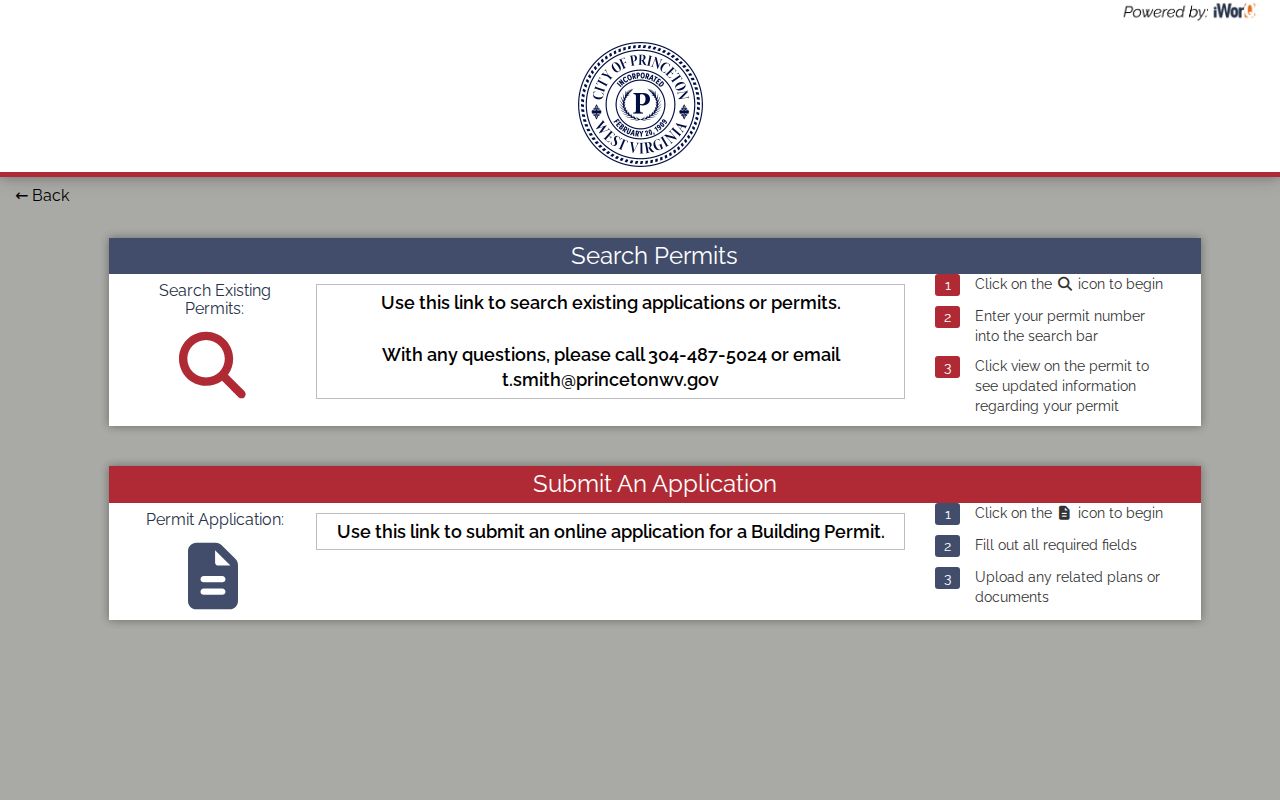
Princeton links a Citizen Portal for code-related requests. Residents can submit a request there and view existing ones. It helps show whether a property-maintenance or code matter attaches to an address. The portal's form fields are not published up front. No date range, retention schedule, or copy fee is stated.
Give the address, the Mercer parcel ID if known, the category, and a description. Include an approximate time. Ask whether inspection records, zoning determinations, variance files, site plans, and attachments can be viewed. Ask about status history too. A portal request is a city regulatory record. It stands apart from the deed or tax roll.
Princeton Property Records and Rail History
Princeton's official history credits rail, not coal, with the town's first strong growth. The Virginian Railway arrived in 1909. The city incorporated on February 20 of that year. Confederate soldiers burned the town in 1863 to deny aid to Union soldiers. That history explains the odd paper trail. An old record may use a township, railroad, courthouse, or former road description instead of a street address.
For house history, set an old deed and directory beside the current parcel map. Either era can suggest which record to seek. Neither identifies an owner on its own. A matching recorded instrument does. The historic map or name is a lead; the parcel and legal description form the bridge into current Mercer County records.
The City of Princeton history page gives the local origin and incorporation account.
Princeton Property Records and ZIP 24740
Princeton's official city address uses ZIP 24740, though that postal area can extend past the corporate line. When jurisdiction matters, check the city's boundary or wards map alongside Mercer GIS. The Assessor's public sources place Princeton in an East River district context. The county publishes no exact map-number range or parcel prefix for land inside city limits.
Copy the district, map, parcel, and suffix straight from the result instead of trusting a postal label. For a property near the edge, ask the City Clerk for boundary or annexation records, then compare the county parcel with the official city map. A Princeton mailing address by itself does not prove that city zoning applies.
Princeton Property Value Records
The county publishes no Princeton-only revaluation series and no parcel-level value trend. Use Mercer County's land, building, and total appraisal fields instead. These come with class, acreage, and the tax-ticket year. The current 2026 ticket reflects the July 1, 2025 assessment date. So it may miss a later transaction. West Virginia law sets the assessment level at 60 percent of the most current appraised value.
A historic-district label does not establish higher market value. Match similar parcels. Rely on a recorded deed when a sale date or price matters. A tax assessment and a transaction price measure different things. For a current market valuation, ask a qualified appraiser.
Princeton Property Records and Landmarks
Historic clues appear throughout Princeton property records. Landmarks include the Mercer County Courthouse at Courthouse Square and Main Street. There are also the Mercer Street Historic District, the Virginian Railway Historic District, the Princeton Post Office at 920 Mercer Street, and the McNutt property on Walker Street. The former Hale House, also called Temple Knob, once stood at 1034 Mercer Street. It is listed as demolished. These names can steer a city-map or directory search. But a subdivision name should come only from a recorded plat.
The city also describes the Mercer Street business corridor. A Business Loop connects Mercer, Thorn, Rogers, Brick, Stafford, South Walker, and East Main streets. When a historic place shows up in an old chain of title, carry its street and parcel number into the county records. The original deed and plat hold the ownership and lot detail.
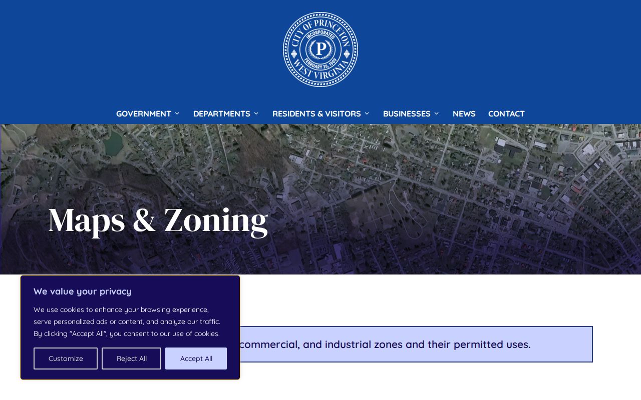
The Princeton Maps & Zoning page shows the zoning map and explains the eight local districts.
The Princeton Citizen Portal is the city-linked route for code-related requests and existing request status.