
Looking Around a Mercer County Property
Start with the subject parcel, not with residents. Mercer County's statewide viewer draws parcel geometry on a map, and an Identify click or a Geometry search can pull the parcels bordering the subject tract. Each parcel ID opens an Assessor record. It carries the tax-roll owner field and a mailing address. A recorded plat clarifies lot relationships in a subdivision. Older street names may need a historic map or directory.
| Source | What It Shows About a Block | Access |
|---|---|---|
| WV Property Viewer | Adjacent parcel shapes, IDs, physical addresses, and map context. | Free statewide map. |
| WV Property Assessment | Owner, mailing address, class, acres, and value for each parcel. | Free search; detail may show multiple owners. |
| Mercer County Clerk plat | Recorded lots, roads, common areas, easements, and legal references. | Request the recorded plat from the Clerk. |
| Historical Society / Archives | Past street or community clues for old block names. | Appointment or finding-aid access. |
A parcel record names an owner, not an occupant. The mailing address may belong to a lender, trust, company, or fiduciary, or simply sit outside Mercer County. Never infer who lives nearby from the property roll.
Map Adjacent Parcels in Mercer County
The workflow runs in one direction: subject address, mapped parcel, adjacent parcel IDs, then Assessor records. Zoom in first. The statewide viewer hides parcel boundaries until the map scale is close, about 1:18,056 or nearer. Overlapping polygons happen. When a popup lists several matches, pick by Parcel ID instead of a surname. Names repeat; parcel numbers do not.
Treat the geometry as a guide, never a survey. The statewide layer combines parcels with map references. Some source geometry comes from paper tax maps and can take years to reach the online layer. That lag matters in Mercer County, where a first lookup may rely on a long rural road, a community name, or a route rather than a numbered address. Before moving to an adjoining tract, verify the candidate with its complete district, map, parcel, and suffix. The suffix matters as much as the map.
- Search the subject E-911 address in the WV Property Viewer and confirm Mercer County.
- Zoom until parcel edges appear, identify the subject polygon, and save its district/map/parcel key.
- Click each parcel that touches or falls within the chosen nearby area, and record its ID and physical address.
- Search each ID in WV Property Assessment and note the Current Owner field, mailing address, and parcel detail.
- Compare the recorded plat when a subdivision lot, shared road, or easement affects the block.
- Parcel ID
- The district, map, parcel, and possible suffix used to match tax records.
- Adjacent parcel
- A parcel next to or touching another parcel; map proximity alone may not establish a shared legal line.
- Buffer
- A geometry search area set around a feature; check the current portal control and units.
- Plat
- A recorded map used to identify lots and shared features in a subdivision.
Privacy Limits on a Mercer County Neighbor Lookup
A Mercer County neighbor lookup suits boundary questions, purchase diligence, subdivision plats, and civic property issues. It does not reveal who lives at a property. West Virginia's Address Confidentiality Program gives eligible people a substitute address. Other state privacy laws limit certain records too. Take corrections or protected-record questions to the original office.
Lawful use. Use nearby parcel information for due diligence, maps, and lawful civic research. Do not use names or addresses to watch, target, threaten, or harass a neighbor.
Geometry Search in the Mercer County Viewer
The WV Property Viewer includes a Search by Geometry tool with a buffer control for finding nearby features. Buffer units and settings vary, so confirm the distance on screen before relying on it. For a first pass the tool works well. Select the subject parcel, then define the nearby area you want to search. Identify the surrounding polygons one at a time.
Save context with every result: the subject parcel, the map scale, the buffer selection, and each adjacent parcel ID. Geometry alone shows proximity, not ownership. Open each result. Then search that parcel ID in the Assessor system. An abbreviated or singular owner line hides detail, so check the full record before assuming a single grantee.
Mercer County Parcel IDs for the Block
For every nearby tract, record the district, map, parcel, suffix, physical address, and any owner field. Mercer County numbering mixes styles. Maps run to lettered sheets like 16V, and parcels appear as decimals such as 58.0. Copy punctuation and leading zeros exactly as displayed. A single block can mix numbered addresses, road names, and tax-map descriptions, so the parcel ID is the one reference common to both the map and the Assessor search.
A shared street is not a shared parcel. One lot may front the road while another sits behind it, reached by a lane or right-of-way. The map picks the candidate. The tax record supplies the identifier. The recorded plat or deed explains the lot line, shared road, or easement. For map-reading details, see the Mercer County parcel maps page.
Search Mercer County Owners by Street
The Assessor search includes a Street Name field, with each result's Property Address listed separately. Try a shortened road name if a search fails. Then compare district, map, parcel, and acreage. The result lists tax parcels along a street. It does not define which parcels share a boundary with the subject property.
Use the map or a recorded plat to decide adjacency. Then run each parcel ID through the Assessor. Note the current owner and the mailing address. The owner field can be a person, business, trustee, or estate. Confirm a specific present owner against the recorded deed whenever a purchase, easement, or boundary question depends on it.
Mercer County Plat Lots and Neighbors
A recorded subdivision plat is often the clearest way to sort out a subdivision. It shows how lots, roads, common areas, and easements relate to one another. The County Clerk keeps the recorded plats for Mercer County. Tax maps add another layer of help. They show parcel labels and, in many areas, subdivision names. A map line can be confusing at times. A deed may also describe the land by lot and block instead of a modern street address. Reach for the plat in either case. One caution applies: no complete statewide GIS layer matches every HOA or subdivision name to its parcels.
Boundaries add their own puzzles. A parcel can sit at the edge of Princeton, Bluefield, or another incorporated place. Postal city and ZIP labels often extend past the municipal line. That means one neighbor block can straddle two sets of city rules. The county parcel map shows the local geography well enough. For a true jurisdiction question, though, you need a city boundary file or an annexation record. Either one can settle which side of the line a parcel falls on.
Open Mercer County Parcel Owner Detail
One map result can list a single owner even when the parcel has several. Open the parcel detail itself. There you will find fuller ownership information plus the mailing address on file. The Assessor's tax roll and GIS viewer make block lists easy. Every lot still stands as its own record. Joint owners, an LLC, or a trust may hold title under a name of record. The name on title may differ from the neighbor's.
Need to confirm a specific owner? Set the assessment detail beside the latest deed recorded at the County Clerk. For a single-parcel check instead of a whole block, the Mercer County current owner page can help. It walks through the present owner-of-record field and the deed date that anchors it.
The WV Property Viewer for Mercer County supplies the parcel geometry, along with identify, address, and buffer tools built for finding adjacent parcels. Those tools are the fastest path to a reliable neighbor list.
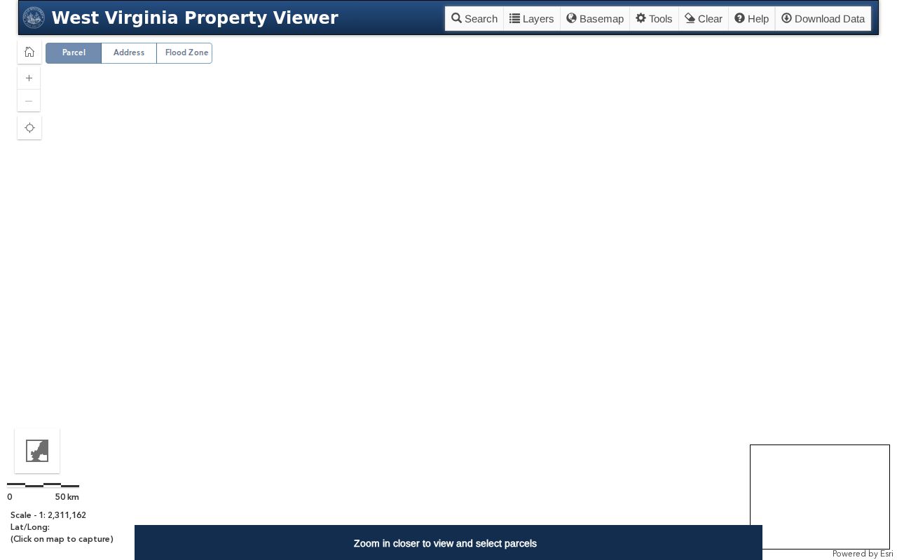
Identify each adjacent parcel one at a time, then carry its complete ID over to the matching Assessor owner record.